NASA launches SWOT Satellite to study ocean, river and lakes
NASA launches SWOT Satellite to study ocean, river and lakes
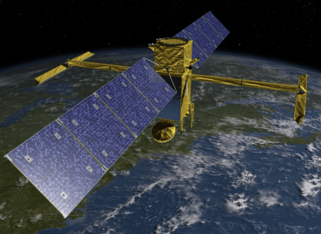
NASA launches SWOT Satellite to study ocean, river and lakes. American Space Agency NASA has recently launched SWOT satellite fully name “Surface Water and Ocean Topography” satellite to conduct a comprehensive study of oceans, rivers and lakes around the globe. It will measure the precise height of rivers, reservoirs, lakes and track ocean surface feature at unprecedented scale. The lifetime of the mission will be three years.
Purpose of SWOT Satellite
The advance radar in SWOT satellite is designed to give an unprecedented view of life covering 70% of the planet, shedding new light on the mechanism and consequences on climate change. Advance microwave radar technology will collect surface measurements of oceans, lakes, rivers in high definitions with details which will further help in :
- Management of water sharing issues
- More accurate weather and climate forecasting
- Managing freshwater for urban, industrial and agricultural consumption
- Improves flood modelling
- Coastal ocean dynamics
- Reducing environmental risks and contribute to public-policy making
Partners in the Mission
SWOT is being jointly developed by NASA ans Central National D’Etudes Spatiales (CNES) with contributions from the Canadian Space Agency (CSA) and United Kingdom Space Agency.
Advantage of SWOT Satellite
The satellite will sweep entire Earth at least twice every 21 days from 78 degree north to 78 degree south, which will enhance ocean circulation model bolster weather and climate forecasts and aid in managing scare water resources In drought stricken regions.
No Comment! Be the first one.